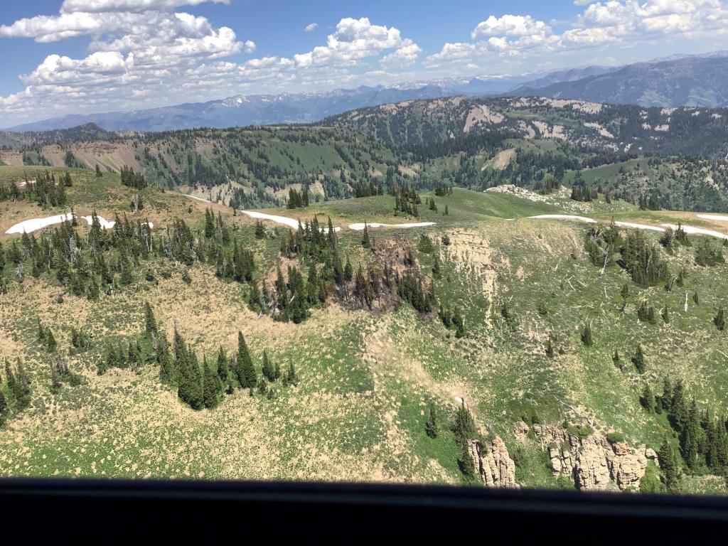
10/09/2025 -  Dollar Lake Fire Newly Revised Closure Order & Map

The closure has been scaled back to encompass the Green River Lakes Campground only.
 

Lead Creek

This fire is approximately 4 miles west of the Sherman Creek Guard Station and 2 miles to the north of Horse Creek Road. Fire behavior is smoldering with some torching in a mix of grass, brush, timber, and slash. Firefighters from the Big Piney and Pinedale Ranger Districts are currently taking full suppression actions on the fire.

Yellow Mountain Fire

10/11-  Satellite fire detection and heat monitoring apparatus have not picked up any activity in the area or with the fire's perimeter for over a week. Weather over the fire area has produced a mixture of rain and snow, limiting any new growth or activity on the Yellow Mountain Fire.  

10/5- No new reports for this fire as the cooler and moist weather has reduced the fires activity. Managers will continue to actively manage the fire until the fire is out.

Ski Lake

This small fire was detected late in the evening as a tree torched along the ridge line and making the flames visible to homeowners living in along the Snake River in Teton County. Teton interagency helicopter flew the fire and found a small 1/4 acre fire burning within a stand of heavy mixed timber. Two West Yellowstone Smokejumpers are suppressing the fire and will hike off the fire after is has been contained and controlled. The fire is a lightning start from the storm passing over the area later this last week.

Beaver Trail

This lightning caused fire is burning approximately one mile north of the Beaver trailhead. Fire behavior is smoldering in grass and sage in an isolated stand of timber. Firefighters from the Big Piney and Pinedale Ranger Districts have hiked in to the fire and are taking suppression action at this time.

White Rock

Google map image showing the fire location adjacent to the Upper Green River Lake.Five firefighters from the Pinedale and Big Piney Ranger Districts have hiked in fire and will be fully suppressing the fire using Minimum Impact Suppression Tactics (MIST)

Wilson Canyon

Afternoon winds on August 25th woke the sleepy Wilson Canyon Fire after what appears to be a long period of smoldering fire behavior at the base of a large Douglas fir. The 4.7 acre fire was called into fire dispatch through forest visitors recreating in the canyon area. Local interagency firefighters from Jackson Hole Fire/EMS helped to support suppression efforts along with water bucket operations from Helicopter 35HX. The fire was called out -


Tepee

Lightning maps and fire cause of determination provided enough evidence for initial attack firefighters to establish the Tepee fire igniting on the morning of August 22nd after a lightning storm tracked over the Gros Ventre area of the Jackson District. Located 1 mile south and west of the main Gros Ventre road, the fire is under a full suppression strategy. The remaining two firefighters will hike off the fire on the afternoon of 25th, once the fire is in controlled status.

Porcupine

This fire was discovered by hikers and reported burning in the Bridger Wilderness alongside a trail. Firefighters hiked in and were able to suppress the fire by the following day. UPDATE: The cause is suspected to be from burning toilet paper (see photos). The area had not received recent lightning. 

Fire Trail

This fire is located 4 miles south of Alpine and approximately 1 mile west in the Squaw Creek drainage and is human caused. The fire is approximately 30 acres in size due to more accurate GPS mapping of the burned area. The Squaw-Murphy route (Forest Road #10001-Forest Trail #3183) closure has been rescinded and is now open for recreation. The Fire Trail Fire was declared out late afternoon on August 30, 2018.