
2026 Prescribed Fires
| Fire Name | Contact | Scheduled | |
|---|---|---|---|
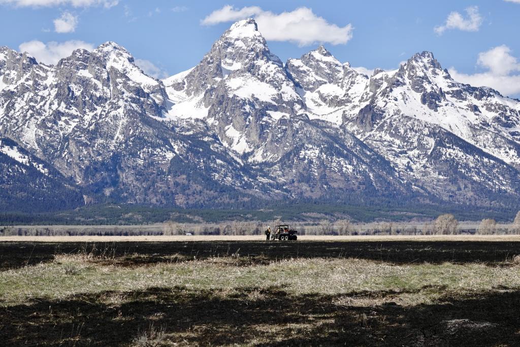
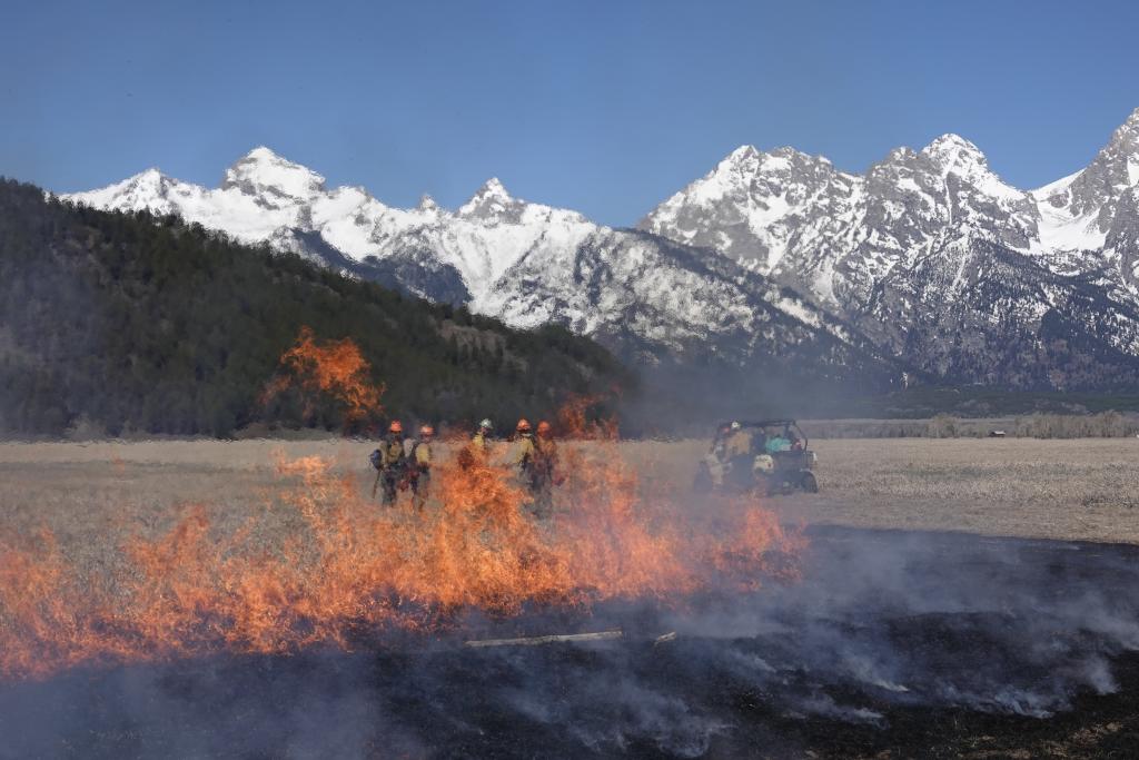
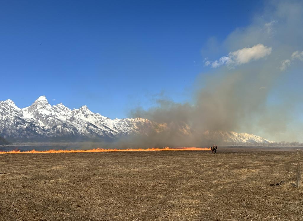
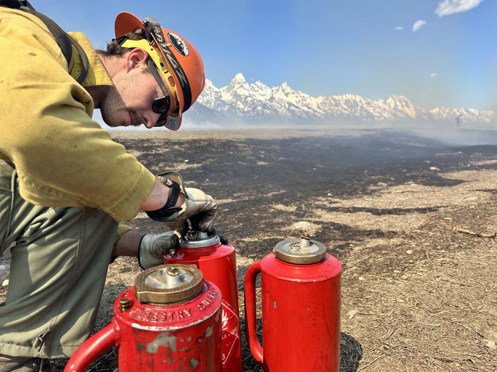
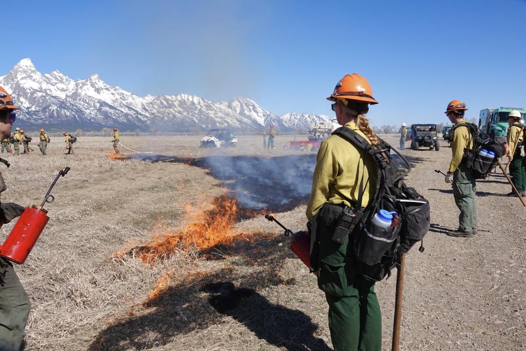
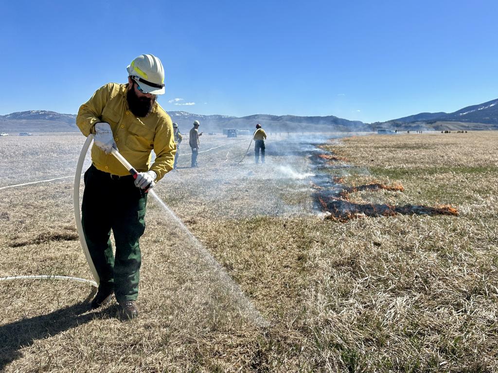
| Hayfields Restoration Prescribed Fire | Photos taken during operations phase of the burn on April 9, 2026. Photo 1, photo 2, photo 3, photo 4, photo 5, photo 6 (photo credit, Lori Iverson) Grand Teton National Park is planning a prescribed fire for 196 acres near Mormon Row, on part of the Hayfields Restoration Management Area near Mormon Row starting April 9, 2026. Key Details
Public Impact & Safety
Monitoring: Safety factors, weather conditions, air quality, personnel availability, and environmental regulations are continually monitored as part of any fire management operation.
|
Bill Mayer |
Early to mid-April, 2026 |
| Fire Name | Contact | Scheduled | |
|---|---|---|---|
| Munger Mountain RX- Spring 2026 | The Jackson Ranger District plans to resume prescribed fire operations at Munger Mountain as early as April 8, 2026. These operations are part of a multi-year effort to reduce overgrown vegetation and protect local communities from future wildfires. Key Details
Public Impact & Safety
Monitoring: Real-time air quality updates can be found via the AirNow Fire and Smoke Map. |
| Fire Name | Contact | Scheduled | |
|---|---|---|---|
| Taylor Mountain | Taylor Mountain is one of many treatment units in the Teton to Snake Fuels Management project. The project covers a large area along western Teton County and is in and adjacent to the Palisades Wilderness Study Area. This area is considered one of the highest fire risk areas on the Bridger Teton National Forest. The existing forest fuel conditions and prevailing winds can create and push severe wildfire toward high density residential areas. Taylor Mountain Unit is located adjacent to the Hidden Hills Subdivision and Butler Creek. Fuels within the unit vary from shrub stepp, Aspen stands, and mixed conifer stands. Community is one of the strongest tools in fire safety. When neighbors know each other and work together, preparedness becomes a shared responsibility rather than an individual burden. Thank you Hidden Hills and Butler Creek Subdivsions for your collaboration and support with the Taylor fuels treatment projects over the years. |
Eric Hawes North Zone Fuels Manager Office 307-739-5425 Cell 307-699-1705 |
Spring/ Mid-May 2026 |