
Skull Lake
09/12 - This fire was declared out after receiving a significant amount of snow.
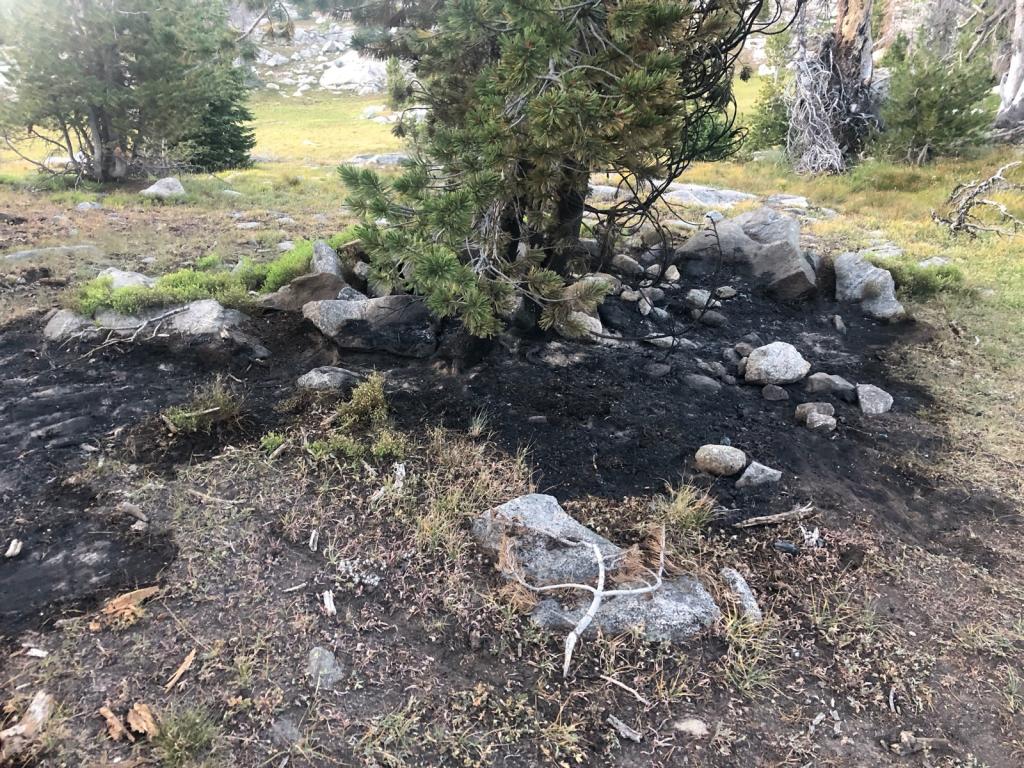
08/26 - Wilderness Rangers have been periodically checking on this fire. The fire is still smoldering and creeping in the duff. Low potential for spreading. Photos from 8/20; photo 1, photo 2
08/15 11:05 am - Two Firefighter 2 wilderness rangers from the Pinedale District hiked in to assess the status of the fire. Though there is no new growth (fire is still at less than 1/10th of an acre), it is actively burning with fire behavior mainly smoldering and creeping.
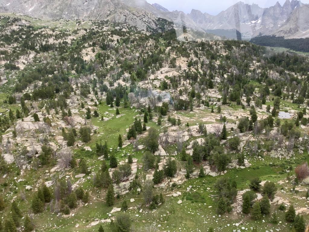
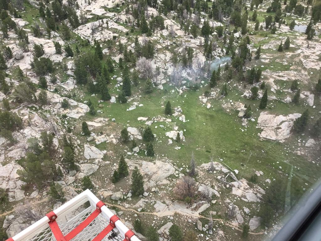
Hikers in the area are being asked to avoid the immediate fire area for public safety reasons. There are no trail or area closures associated with this fire at this time. The fire is about 200 feet off the Washakie Trail #155 approximately 1/4 south east of Skull Lake.
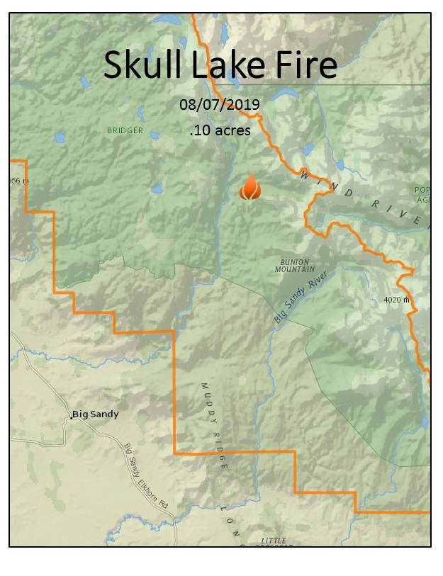
08/07 2:51 pm - A member of the public called in to report a fire on the southern end of the Wind River range. The fire is burning in the Bridger Wilderness south of Skull lake near Washakie Creek. The Teton Interagency helicopter has been launched to fly the fire and do an initial size up. More information will be posted as it becomes available.