Fire Danger Descriptions
 LOW Fires are not easily started. Fuels do not ignite readily from small firebrands, although, a more intense ignition source, such as lightning, may start many fires in duff or punky wood. Fires in open cured grassland may burn freely a few hours after rain, bur fires burning in forested areas spread slowly by creeping or smoldering and burn in irregular fingers. There is also a danger of spotting.
 MODERATE Fires start easily and spread at a moderate rate. Fires can start from most accidental causes, but with the exception of lightning fires is some areas, the number of start is generally low. Fires in open-cured grassland will burn briskly and spread rapidly on windy days. Woods fires spread slowly to moderately fast. The average fire is of moderate intensity, although heavy concentrations of fuel may burn hot. Short-distance spotting may occur, but is not persistent. Fires are not likely to become serious, and control is relatively easy.
 HIGH Fires start easily and spread at a fast rate. All fine dead fuels ignite readily and fires start easily from most causes. Unattended campfires are likely to escape. Fires spread rapidly and short-distance spotting is common. High-intensity burning may develop on slopes, or in concentrations of fine fuel. Fire may become serious and difficult to control unless they are hit hard and fast while small.
 VERY HIGH Fires start very easily and spread at a very fast rate. Fires start easily from all causes, spread rapidly and intensify quickly. Spot fires are a constant danger. Fires burning in heavy fuels may quickly develop high-intensity characteristics, such as long-distance spotting and fire whirlwinds. Direct attack at the head of such fires is rarely possible after they have been burning more than a few minutes.
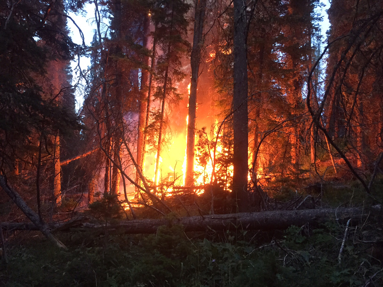
 EXTREME The fire situation is explosive and can result in extensive property damage. Fires under extreme conditions start quickly, spread quickly, and burn intensely. All fires are a threat and potentially serious. Development in high-intensity burning will usually be faster and occur from small fires than in the "very high" danger class. Direct attack is rarely possible, and may be dangerous, except immediately after ignition. Fires burning in heavy slash or in conifer stands may be unmanageable while the extreme burning condition lasts. Under these conditions, the only effective and safe control action is on the flanks until the weather changes or until there is a decrease in the fuel supply.
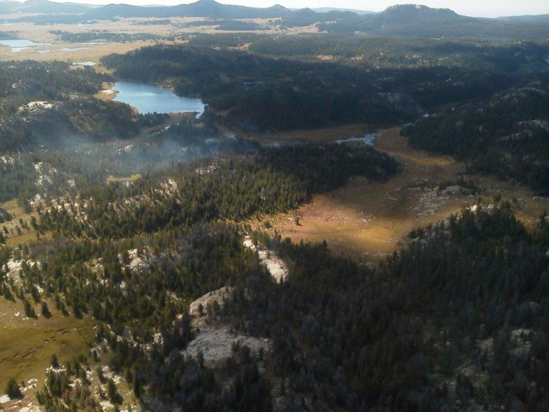 The Sandpoint Fire was deep-seated within the Bridger Wilderness of the Wind River Range, in the vicinity of Sandpoint Lake and nearby Continental Divide Trail. The fire was first detected while aircraft traveling over the area identified smoke in remote terrain with mixed conifer and open alpine meadows. Information provided during the initial fire size up stated 2 to 3 acres in size with creeping and smoldering fire behaviors. Because of the late season timing and high mountain elevation of the incident, fire and resource managers will monitor the Sandpoint Fire while keeping public and firefighter safety as the primary objective throughout the duration of the incident.
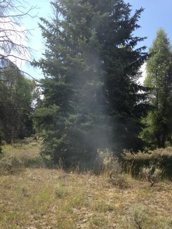
 .jpg) Lightning has been identified as the ignition source for the Dell Creek Fire established on private land, mere feet from the forest boundary. Sublette County fire personnel along with Teton Interagency fire staff took suppression action and continue to jointly suppress the 5 acre fire smoldering in a grass fuel type. Prior to each new fire season, County and Interagency fire staffs assemble for fire training scenarios to better prepare for such unified fire situations as the Dell Creek Fire. The “All Fire Day” training session examines fire communications, safety, operations and planning with the primary objective to enhance the fire organization in the event of an unwanted wildland fire. It is this team work which contributes to the success of the partnerships between local fire agencies.
Lightning has been identified as the ignition source for the Dell Creek Fire established on private land, mere feet from the forest boundary. Sublette County fire personnel along with Teton Interagency fire staff took suppression action and continue to jointly suppress the 5 acre fire smoldering in a grass fuel type. Prior to each new fire season, County and Interagency fire staffs assemble for fire training scenarios to better prepare for such unified fire situations as the Dell Creek Fire. The “All Fire Day” training session examines fire communications, safety, operations and planning with the primary objective to enhance the fire organization in the event of an unwanted wildland fire. It is this team work which contributes to the success of the partnerships between local fire agencies.

