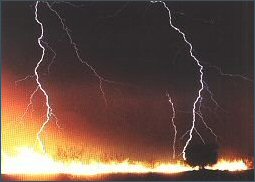
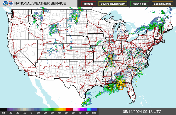
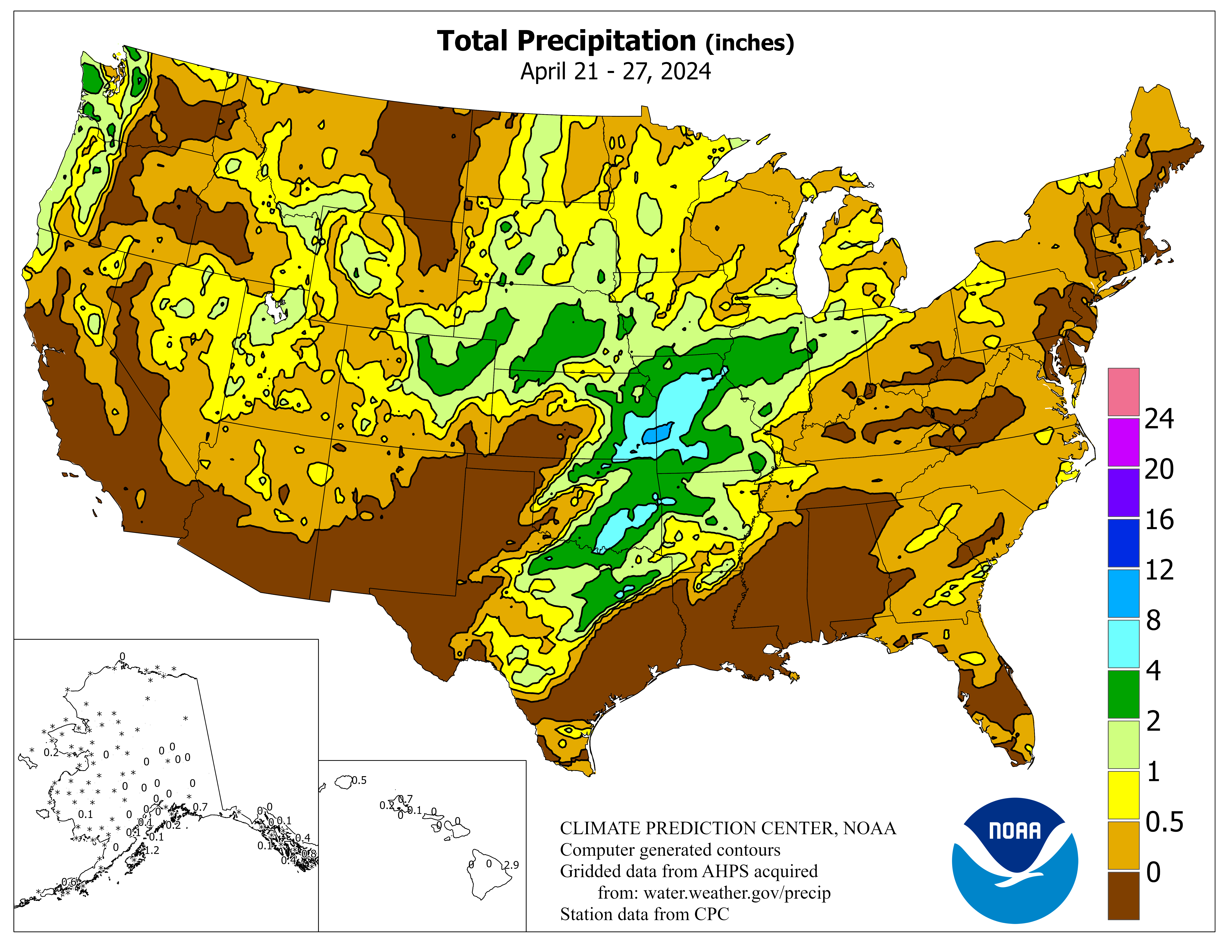
LIGHTNING / PRECIPITATION (Past 24-48 Hours)
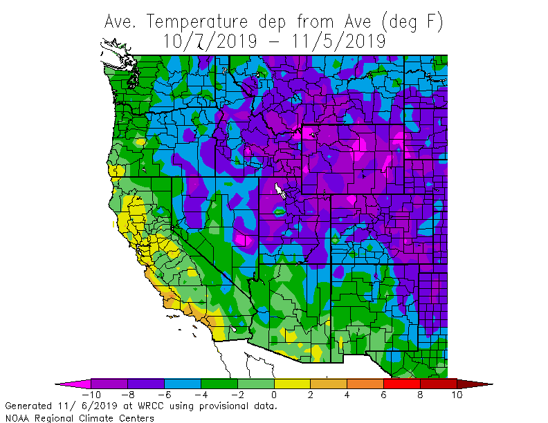
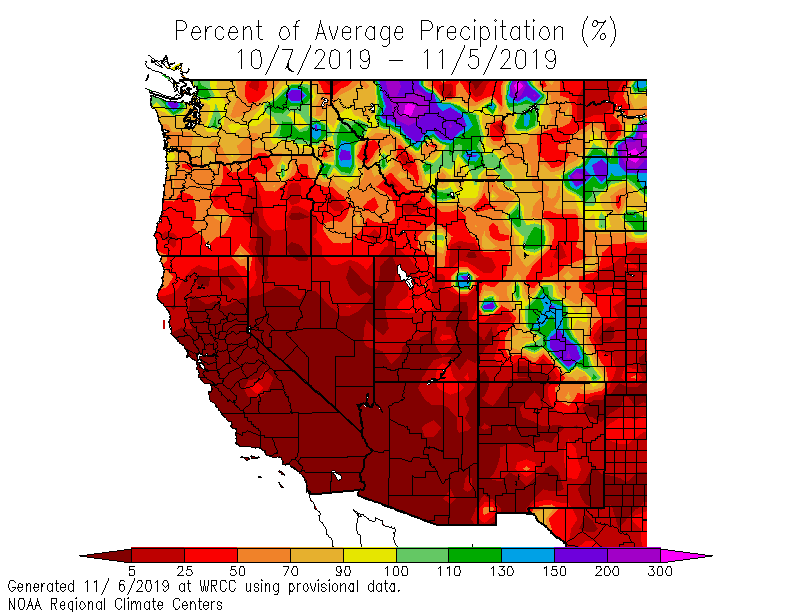
DROUGHT
SW WINDS
Fire Weather Forecasts:
Make sure to check the date on the image above, as it may update it mid-day to show the forecast.


![[Graphic] Weather](../../images/U1_PS_Fire_Weather.gif)
![[Graphic] - SWCC Fire Weather Products](../../images/v_ps_wx_swcc.gif)
![[Graphic] - Current Conditions](../../images/v_ps_wx_current.gif)
![[Graphic] - Smoke Monitoring](../../images/v_ps_wx_smoke.gif)
![[Graphic] - Snow & Precipitation Data](../../images/v_ps_wx_snow.gif)
![[Graphic] - Climatology & Drought](../../images/v_ps_wx_climatology.gif)
![[Graphic] - National Weather Service](../../images/v_ps_wx_nws.gif)

![[Graphic] - Other Weather Items](../../images/v_other.gif)