Mobilizing Incident Resources throughout the Southeastern U.S. and Nationally
Loading
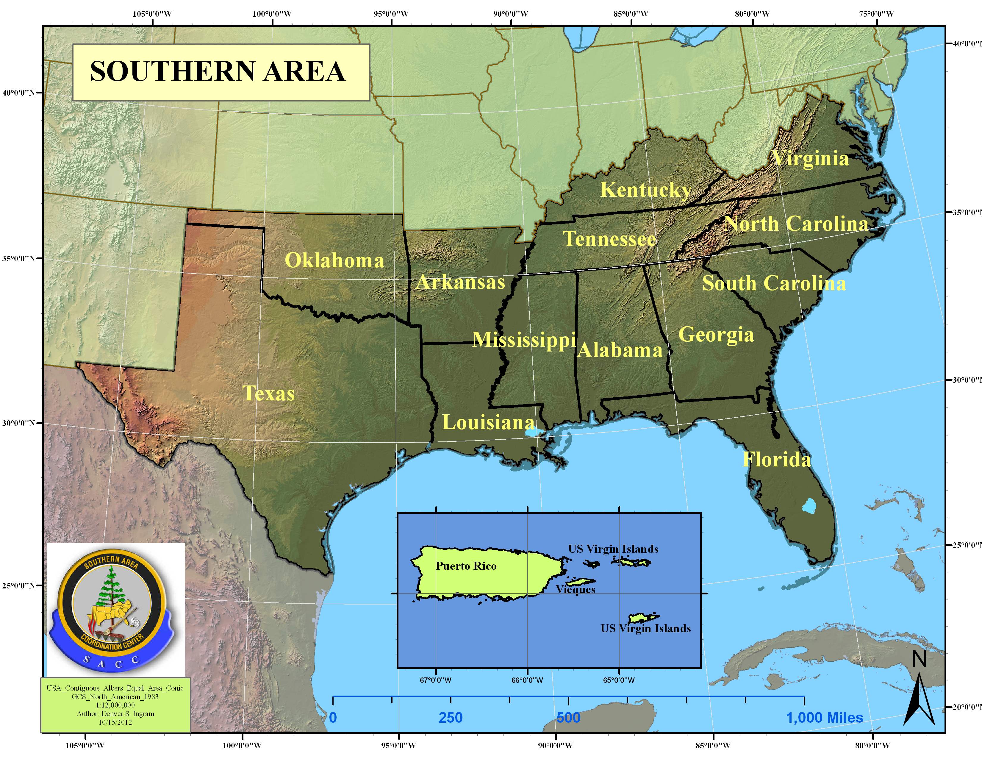
Southern Area

What's New

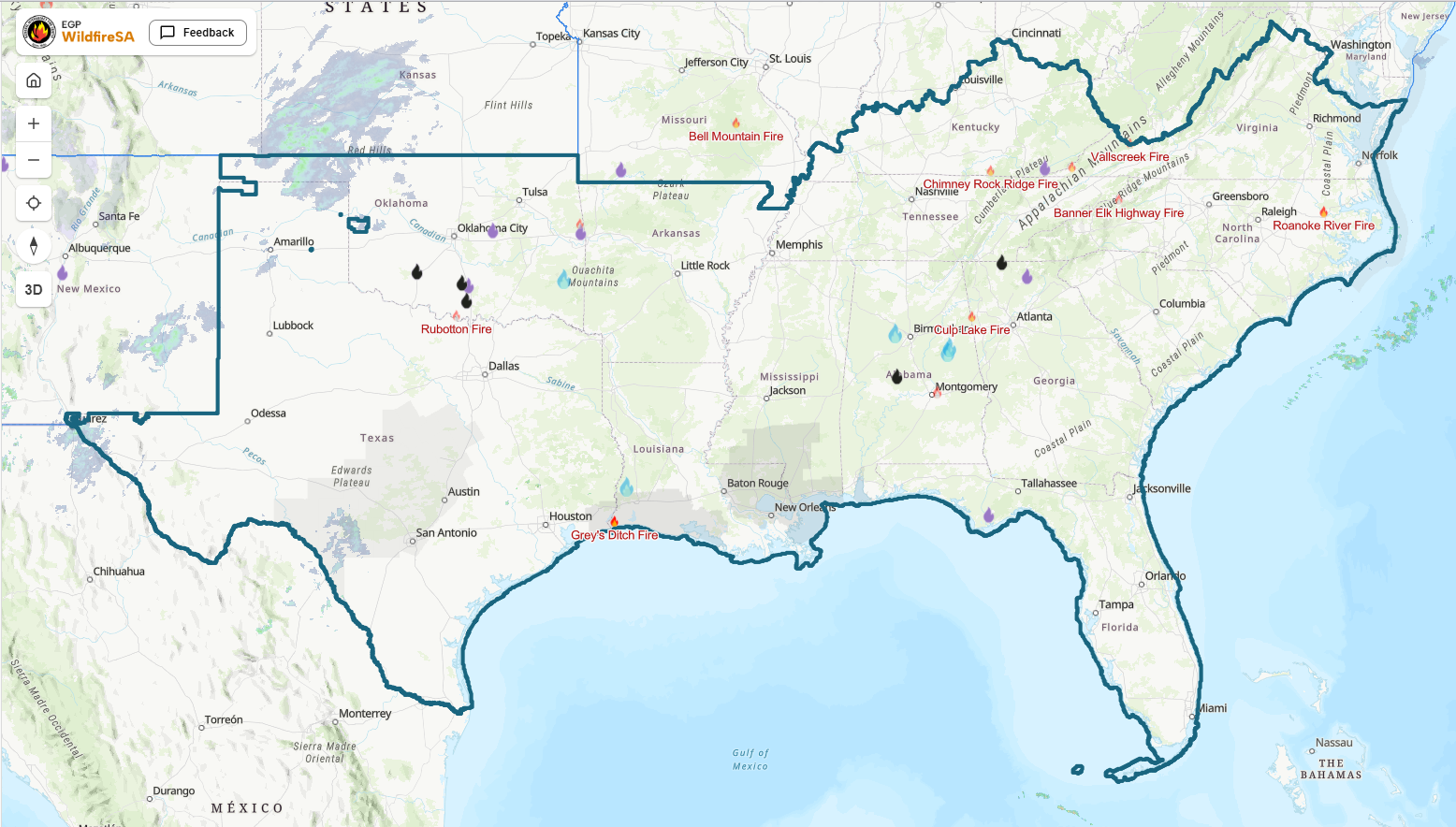
Southern Area
Drought Monitor

The drought monitor map at right shows areas of drought intensity and classifies the drought as either, short term (agricultural), and/or hydrological (long term) drought.
Weather
Intelligence
Aviation
fire danger
Public
SACC • 1200 Ashwood Parkway, Suite 230, Atlanta, GA 30338 • (678) 320-3000 •
Disclaimer
![]()
![]()
![]()
![]()
![]()
![]()
![]()
![]()