Mobilizing Incident Resources throughout the Southeastern U.S. and Nationally
Loading
Weather
All maps and some selected headers are actively hyperlinked.
Quick Links
NICC - FEMS - MesoWest - WFAS - NWS Offices - NWS Spot Request - NHC - Climate Mapper - GOES-East Fire Detections
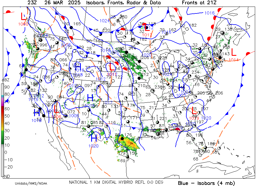
Current Surface/Radar Map
WPC Forecast Fronts
Current Radar
Hi-Res NWS Radar
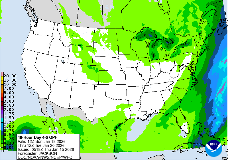
Past 24-hr Rainfall
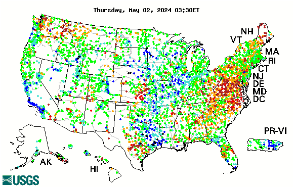
NWS AHPS | USGS Days Since Rain
Soil Moisture Anomaly
NASA Grace | NASA SPoRT
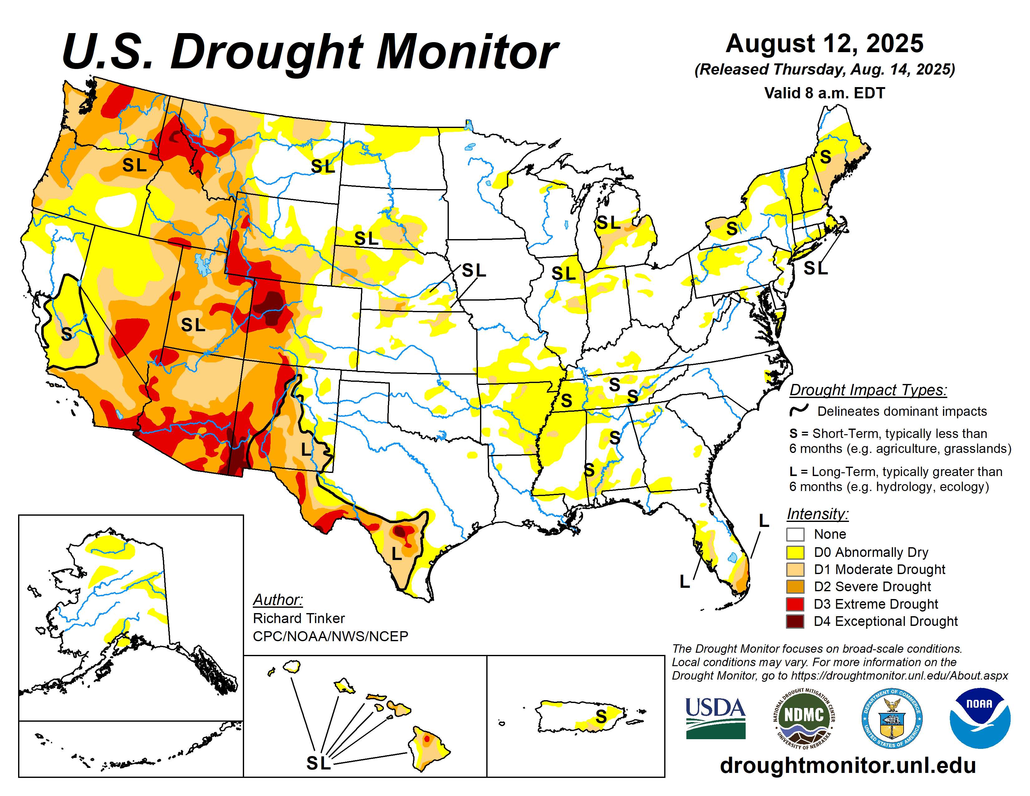
Drought Monitor Short- and Long-Term Drought Indicators
State Fire Weather Links
Alabama - Arkansas - Florida - Georgia - Kentucky - Louisiana - Mississippi - North Carolina - Oklahoma - South Carolina - Tennessee - Texas - Virginia


