Mission Statement

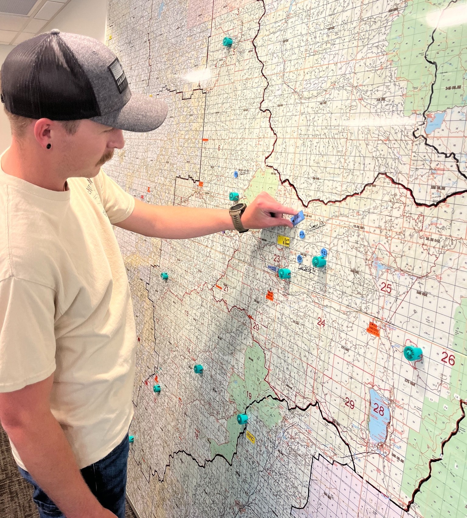
Roseburg Interagency Communications Center (RICC) serves as the central hub for all-risk dispatch operations, logistical support, intelligence gathering, resource status tracking, and availability coordination for all cooperating agencies within its jurisdictional boundary: The Umpqua National Forest (UPF), Coos Bay Bureau of Land Management (CBD), and Roseburg Bureau of Land Management (ROD).
RICC is responsible for all initial attack dispatching on the UPF. Initial attack on Roseburg BLM and Coos Bay BLM lands is the responsibility of the Douglas Forest Protective Association (DFPA) and Coos Forest Protective Association (CFPA), respectively. RICC receives notifications of all initial attack activity and is responsible for notifying the appropriate BLM duty officers.
RICC coordinates the movement of resources between cooperating agencies and units, ensuring fire suppression readiness by monitoring weather conditions, fire danger indices, and prescribed fire activity within its area of responsibility. RICC also responds to resource requests from neighboring units across the Northwest Region (Region 6), working in conjunction with the Northwest Coordination Center (NWCC) and, nationally, with the National Interagency Coordination Center (NICC).
The Umpqua National Forest spans approximately 984,602 acres and contains three designated wilderness areas: the Rogue-Umpqua Divide, Mt. Thielsen, and Boulder Creek. The forest supports extensive recreational use, featuring 54 developed campgrounds and more than 250 miles of trails.
Forest Zones
- North Zone: Includes the Cottage Grove, Diamond Lake, and North Umpqua Ranger Districts.
- South Zone: Comprises the Tiller Ranger District.
In addition to these zones, the Dorena Genetic Research Center and the Wolf Creek Job Corps Center are located on the Umpqua National Forest. RICC provides both initial attack and extended support to the units it serves.

