|
Southwest Area Fire Weather Program - Fire Weather Links Last Updated June 01, 2005 |

Forecasts and Discussions From SWA Offices
|
Spot |
Spot |
|||||||
| Digital | Digital | Graphical | Graphical | Graphical | Graphical | Graphical | Graphical |
SR Data Files - Almost all text
products and guidance received through SR AWIPS.
Map of Arizona Fire
Weather Forecast Zones - With zone descriptions
Clickable Map of New
Mexico Fire Weather Forecast Zones - With zone descriptions
Fire Weather Specific Data
Relative
Humidity Data... Haines Index...
|
Observed Haines
Index |
RAWS Data...
| Temperature | Humidity | Wind Speed |
|
Summaries |
Lightning...
Surface Observations
|
State Hourly Roundup |
Southwest U.S. Surface Plot "Storm Machine" Surface Plot Maker - Plot by state for most usable results.
Metar obs by state (To get 24 hours of obs., the state, click on the station ID, then time series list)
Texas A&M's weather
interface (nice!)
Upper Air Soundings
UW Upper Air Page
UCAR Upper Air Page
|
Profilers |
Aztec - Four corners area |
Tucumcari - East-central NM |
White Sands - South-central NM |
Radar
|
Summaries |
24 Hour Precip Estimates |
Loops |
|
|
Real-Time Base Reflectivity National Map
Satellite
GHCC UCAR ADDS WRH satellite page (nice 1km
vis. images!)
|
SWA Regional |
|
||
|
CONUS |
10-Day Forecasts from GFS=> Precipitation Temperature Soil Moisture
USFS/Southwest Region MM5 FCAMMS/RMC NCEP Emsembles
NCAR COLA/IGES
FNMOC CDC Short Term CDC Ensemble NCEP
Loops
Precip Ensemble
Miscellaneous
Section
| HPC: Fronts and Weather | |||
|
12 Hour |
24 Hour |
36 Hour |
48 Hour |
| Day 3 F / P | Day 4 F / P | Day 5 F / P | |
| Day 6 F / P | Day 7 F / P | 1-5 Day Total Precip | Browser |
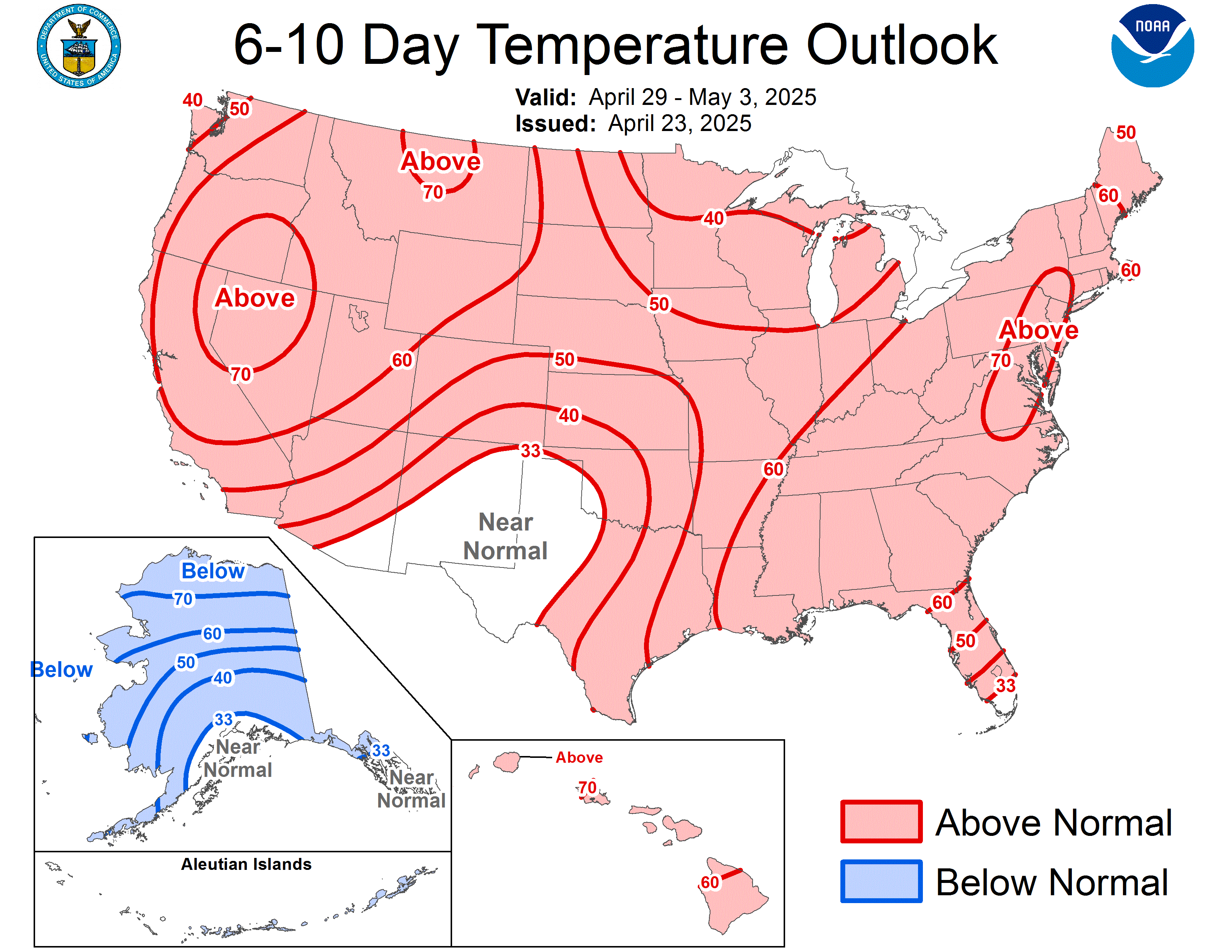
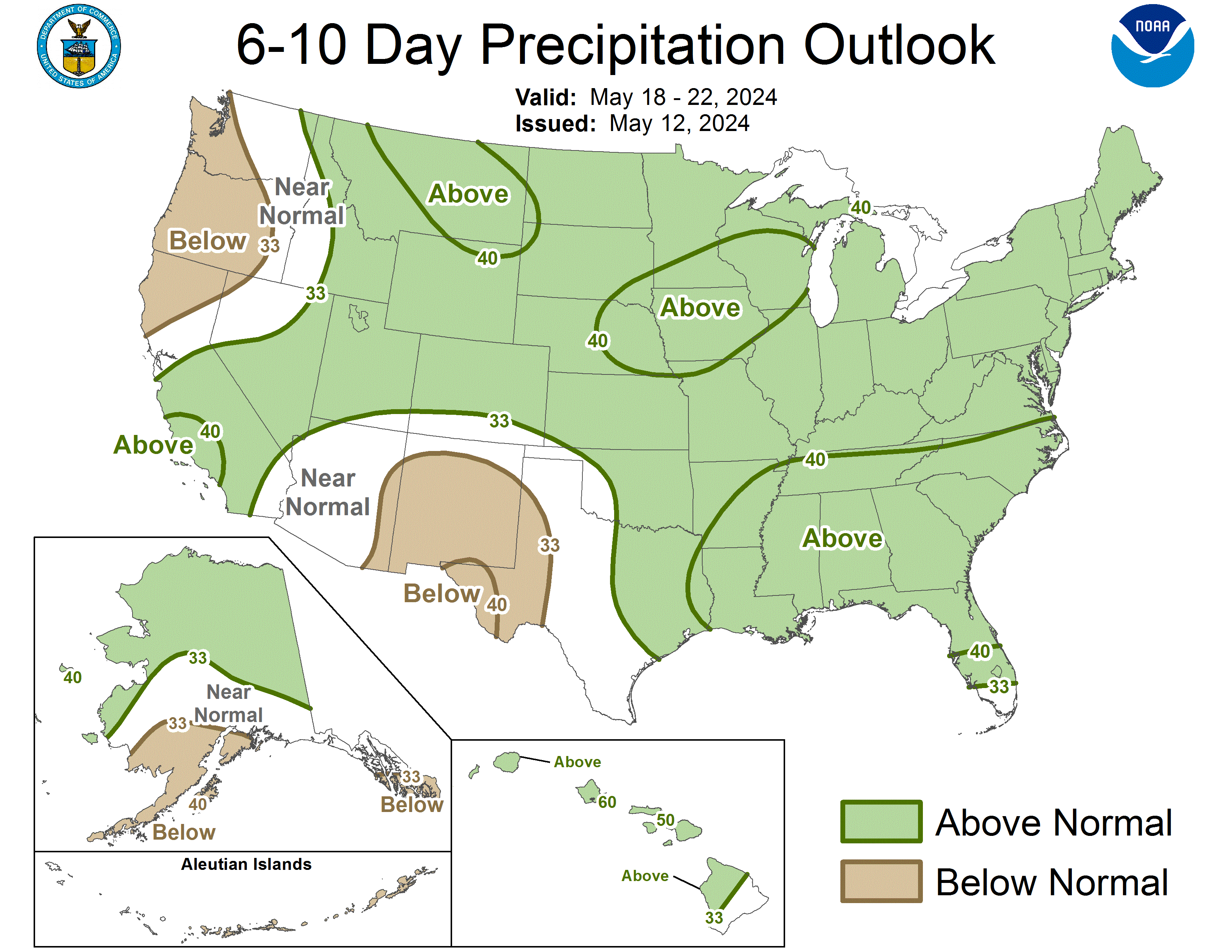
CPC: 6-10 Day Outlook Temp Precip
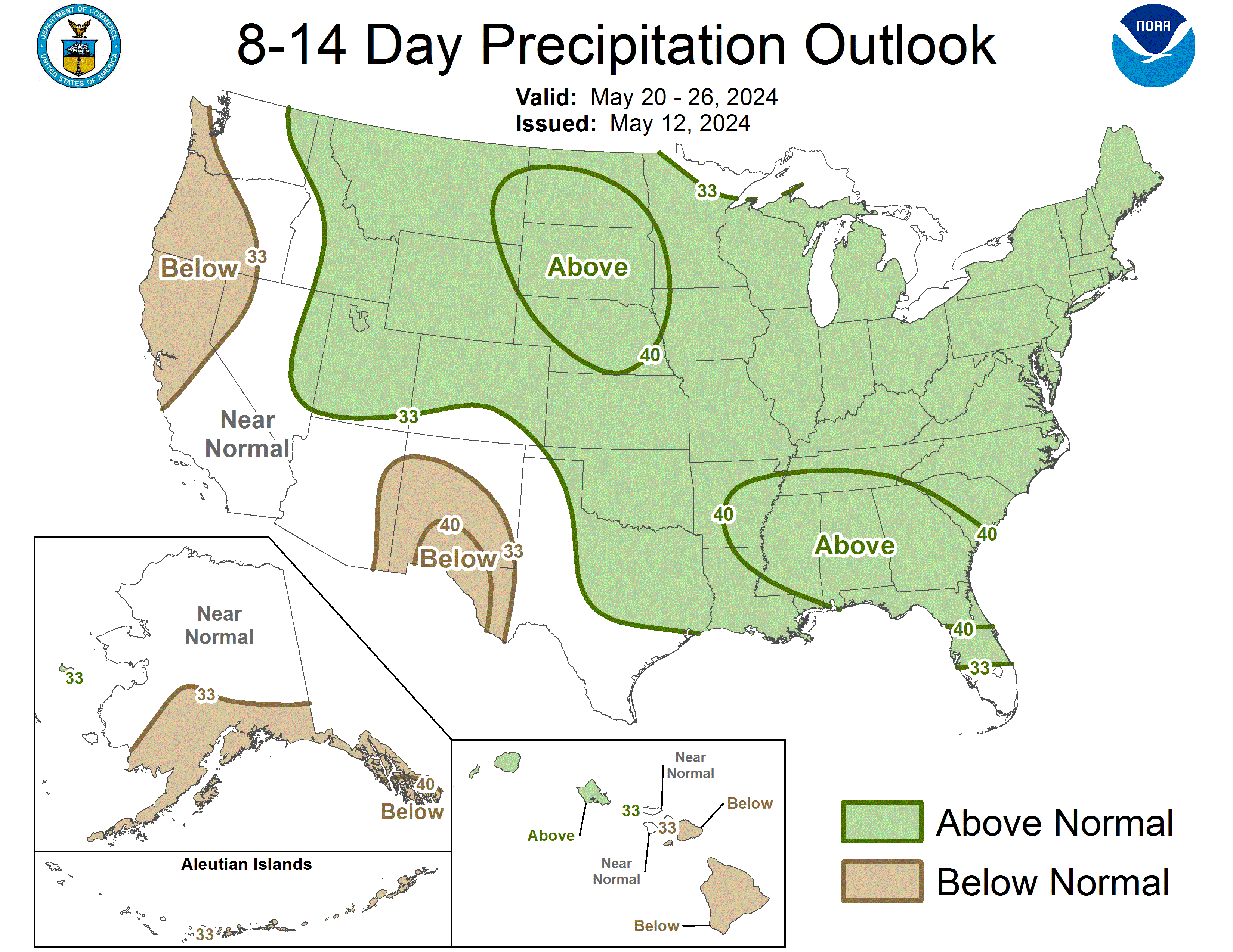
CPC: 8-14 Day Outlook Temp Precip
CPC: 30/90 Day Outlook
Wildfire Assessment System Adjective Rating Forecast 10hr 100hr 1000hr
NCEP Discussions:
PMDSPD
PMDEPD
PMDHMD
SPC Products: SWODY1
SWODY2
For online topographic images, click here. (Slow loading page, don't use without a directpc connection.)