

National Fire Outlook
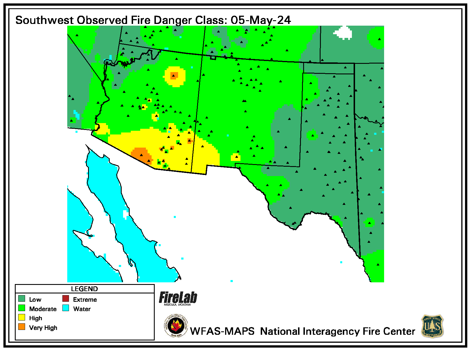
National Fire Danger Rating Observations
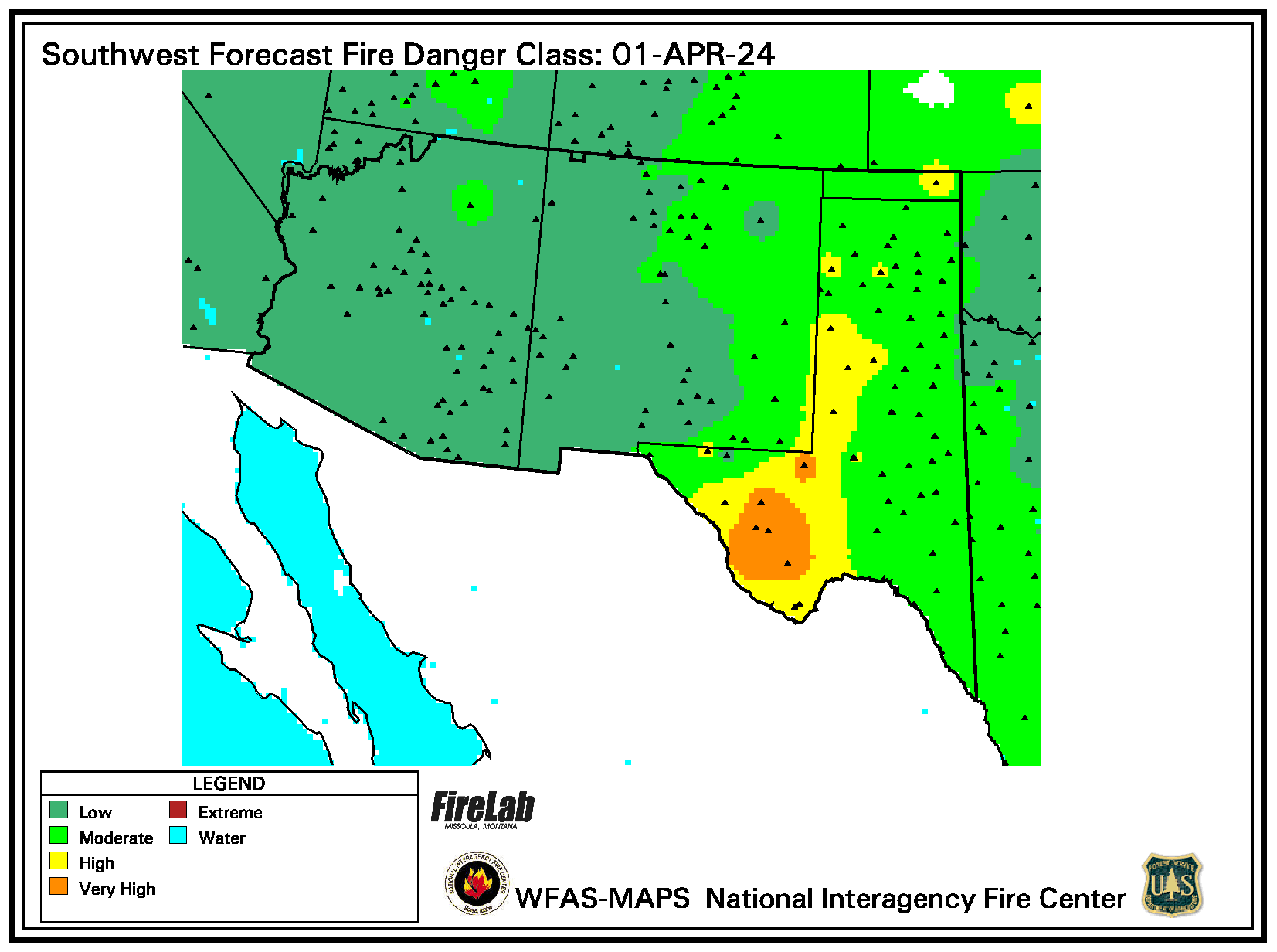
Daily / 24-Hour Forecast
National Fuel Moisture Database
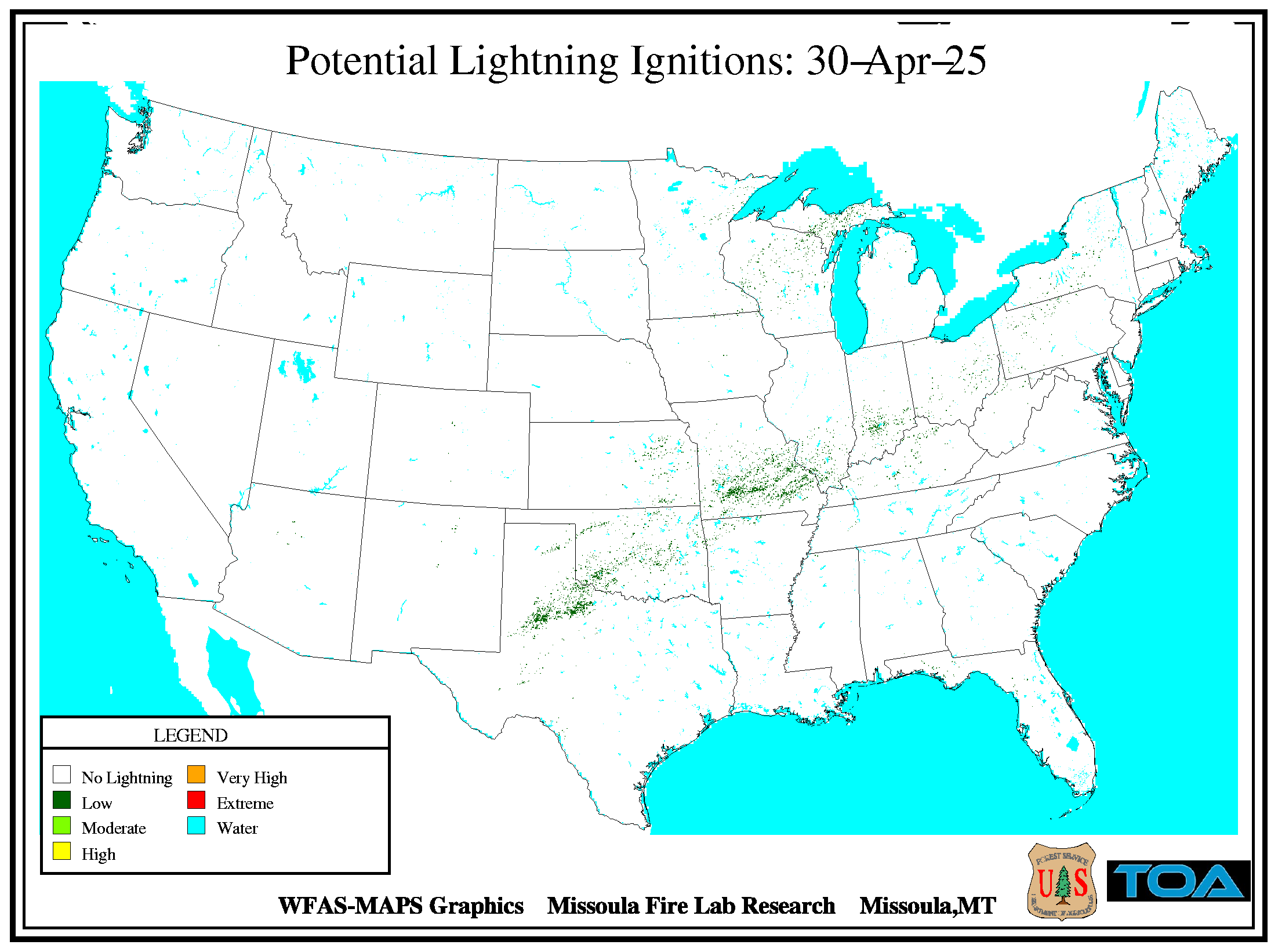
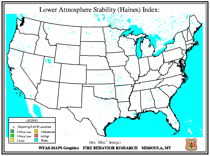
National Fuels & Fire Behavior Advisories