|
Avenza PDF Map Tutorials
PDF Maps Mobile App Tutorial - YouTube
Import PDF Maps Tutorial - YouTube
Avenza Tutorials - YouTube
Avenza PDF Maps Tutorial - YouTube
Aviation Maps
Dispatch Maps
Regional Dispatch Center Map - Western Colorado/Eastern Utah
Land Status
Map
UCR Land Status Map
UCR Tiled Base Maps
East Zone Tiled Base Maps
East Map
West Map
Central Zone Tiled Base Maps
East Map
North Map
West Map
West Zone Tiled Base Maps
East Map
North Map
South Map
UCR Fire Restriction Sign Maps
West Zone Fire Restriction Sign Map
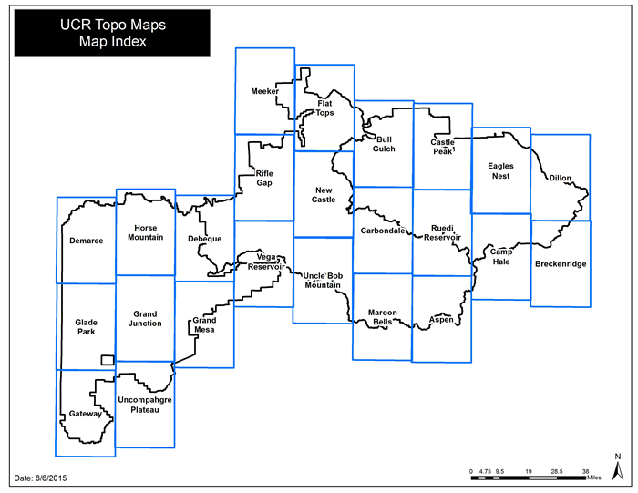
UCR Topo Maps
Map Index - Click on the maps below to download - Updated November 2015
Internal Maps (password protected)
Includes:
UCR Aerial Fire Retardant Avoidance Area Maps
Aviation Maps (Aerial Hazard, Frequency)
FMU Maps
Oil and Gas Maps
|
%20Website%20Template_files/banner_left.png)
%20Website%20Template_files/banner_middle.png)

%20Website%20Template_files/banner_right.png)